
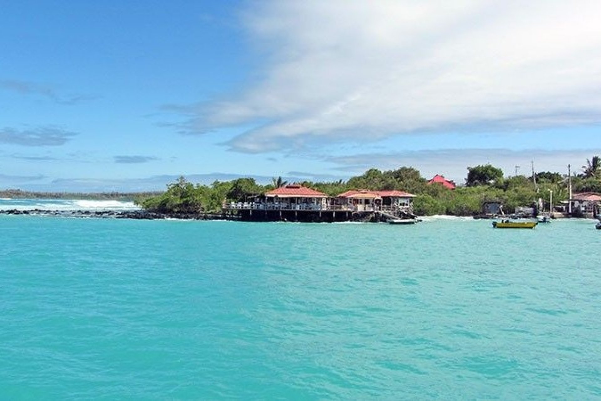
Baltra faces south with Santa Cruz, with a separation of just 150 meters through a channel of crystal clear water coexisting with sea lions, birds and many other endemic species.
Also known as South Seymour, it is the entry point for visitors wishing to tour the Enchanted Islands.
The island is home to the main airport of the Galapagos Archipelago and a dock used by ferries and other boats that transfer passengers and small vehicles to the island of Santa Cruz across the Itabaca Channel.
Baltra Island is of volcanic origin, flat and low. These individuals influenced the island to be chosen for the construction of an airport, being a commercial and geographical strategic point. The airport was built by the North Americans at the time of World War II.
In the northern part of the island are Mosquera Island (0.6 km2) and North Seymour Island (1.8 km2), separated from the latter by the 0.8 NM North Channel.
In the channel of crystal clear water that separates Baltra from Santa Cruz Island (150 m.), you can see sea lions, birds and various endemic species of Galapagos.
It has approximately 26.8 km2 of surface, its approximate length is 8.3 km with a maximum width of 5.5 km.
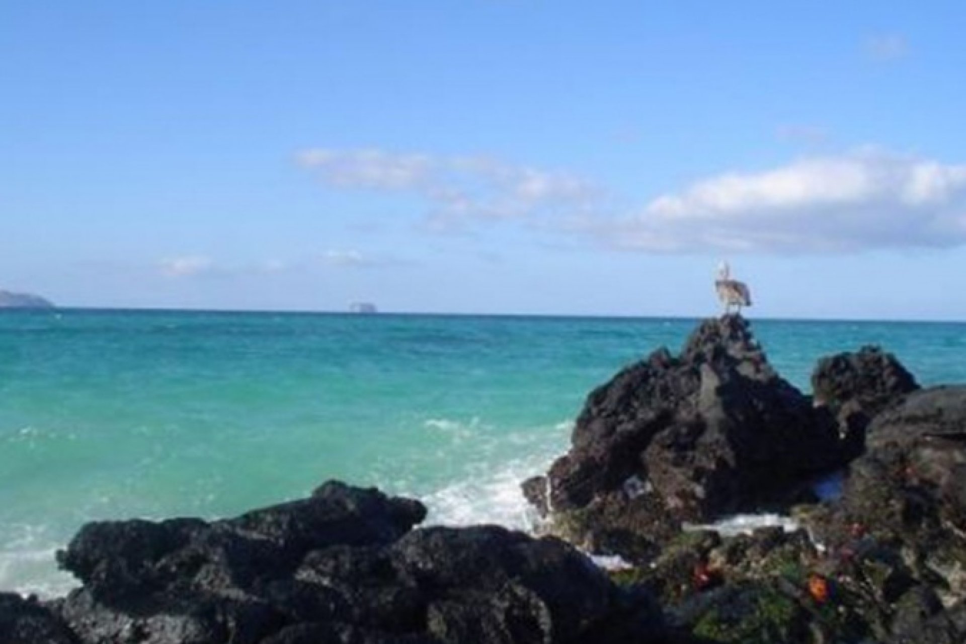
Baltra is a flat and dry island, surrounded by reefs and a few beaches, its vegetation is sparse, consisting especially of cacti and other types of shrubs.
Baltra does not have any natural source of fresh water.
What activities can be done on Baltra Island?
Although Baltra does not have tourist places or hotel infrastructure, on the island you can make purchases, either to take a souvenir or complete something for the trip. The airport is the place where tour operators receive national and foreign visitors to start exploring the different islands of the Archipelago.
However, there are attractions near Baltra, such as Santa Cruz Island, which has several interesting places to visit. Santa Cruz is only 1 km from Baltra.
Around the island of Baltra there are valuable geographical features:
North Channel: It divides the Seymour and Baltra islands, in the middle of the Seymour and Baltra islands is the Mosquera Islet
Seymour Bay: Located between the western coast of Baltra and the northern coast of Santa Cruz Island, among its depths there is a great variety of marine fauna and nesting turtles.
Punta Norte: The tip has the shape of a tongue that comes out from the island and points to the west, it is low, with a steep coast and is located to the northwest of the island.
North Cove: It is located to the south of the point of the same name, it has an opening of 0.7 miles and an inlet of 0.37 miles, its limit is made up of Punta Noboa.
Punta Robles: Located to the southeast of the island, it has cliffs and is stony, with almost no vegetation.
Aeolian Cove: This cove is located west of the island and south of Punta Noboa. It has white sand colored beaches. In this place you can see: the lighthouse, the tanks and the dock
To get to Santa Cruz Island, you must cross the Itabaca Channel. The island serves as a small naval base for Ecuador. There are no places for accommodation, but there is both public and private transportation from the airport to Puerto Ayora.
For those who have a pre-established tour, the airport is often the meeting point with your guide. From here you will be transferred to your yacht or start your first excursion on Santa Cruz Island.